


 CDN NEWS |
  US NEWS







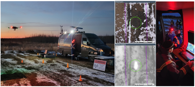
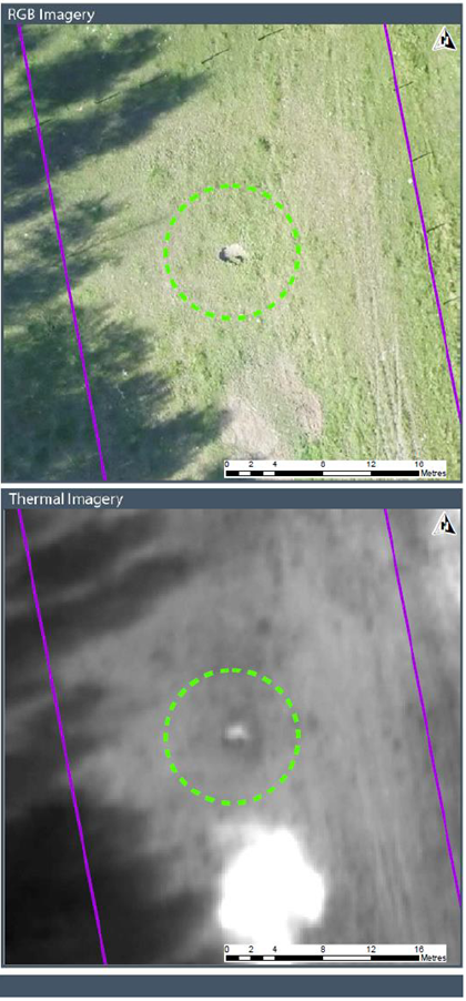
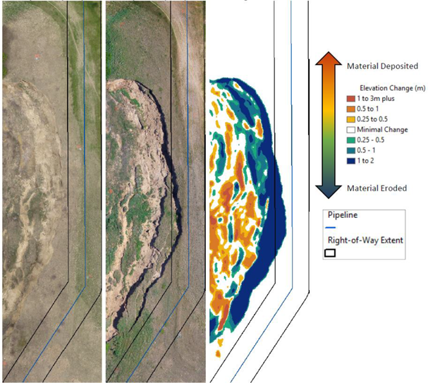
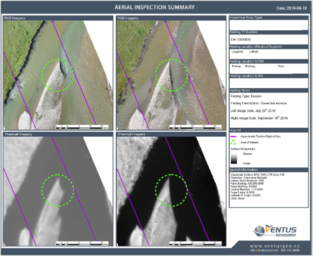
Canadian UAVs is pleased to announce its partnership with Ventus Geospatial, an Alberta based leader in real-time pipeline data analytics. This joint offering will combine the most advanced BVLOS data acquisition capability in Canada, with industry leading data analytics and turn around times. As a way of briefing current and future clients of the capability, they are invited to attend an informational session held at the Calgary Petroleum Club, 10 am – 12 pm February 8th 2023.
Please register here: https://www.eventbrite.ca/e/digital-pipeline-information-event-tickets-516950933157
Agenda:
- Company introductions
- Service outline
- Future development
- Q/A session
“We have been working with Ventus for over a year and have been consistently impressed by their data analytics capability and professional integrity. This joint offering allows our customers to immediately reduce pipeline inspection costs while increasing data fidelity. Canadian UAVs is the only company in Canada with a Canada-wide, day or night BVLOS permit which allow us to economically address all ‘upstream’ and ‘mid-stream’ pipelines in Canada” – said Sean Greenwood, President and founder of Canadian UAVs.
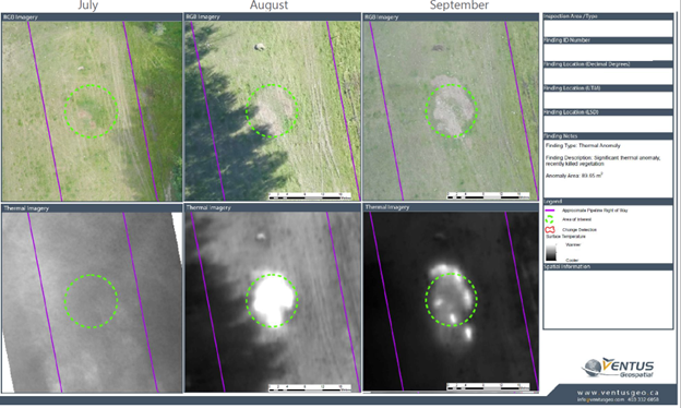
“The demonstration of Canadian UAVs’ advanced BVLOS capabilities and processes has been truly impressive. The aviation knowledge, safety procedures are second to none and demonstrate the potential of BVLOS solutions for pipeline ROW monitoring and large area mapping. The combination of advanced regulatory BVLOS permissions and high-end analytical capabilities of the group have allowed us to take on large pipeline projects successfully providing high quality deliverables to clients at scale. Advanced algorithms and AI allow our clients to get an in depth look at their assets and monitor change over time in an efficient and cost-effective manner.” Owen Brown, CTO of Ventus Geospatial.
About Canadian UAVs
Canadian UAVs is a leading provider of UAS services including training, managed services, and consultancy; and a Lockheed Martin small UAS distributor in Canada. The company’s base philosophy is to ensure that projects are conducted with the highest possible aviation standards.
Canadian UAVs has a dual market focus, working with both commercial consumers of geospatial data, as well as military users of UAS. Our mission of providing the ecosystem for the integration of UAVs into complex airspace means bringing our technology, safety-first aviation standards, and training expertise to both markets thus enabling a cross-pollination of best practices and experiences for our customers.
About Ventus Geospatial
Ventus Geospatial is a Canadian innovation leader in the field of spatial data acquisition, assessment & analysis. Ventus specializes in the integration of advanced data acquisition technologies with high performance GIS analysis and visualization tools to produce rich client specific geospatial data sets, high quality imagery, terrain feature models and geo-referenced asset inspection information.
For further information or inquiries, please contact:

Jon Brydges
Program Manager Commercial
Canadian UAVs
[email protected]
+1.587.943.0011
Gallery
Share This:




















REALITY: Carney’s EU Deal Threatens Alberta, Energy, & Sovereignty – 170,000 Reasons to Reject Canada’s EU “Associate Membership”