CDN NEWS |
  US NEWS


Download Whitepaper HERE
We’re proud to announce that we have completed a significant upgrade of our web mapping platform. Challenger PlanworX will replace our previous CIGS web-based GIS allowing our clients to view the most up-to-date spatial information through a shared and modern interface.
The web mapping platform includes access to our database of various subscription and open-source spatial information, including:
- Digital Integrated Dispositions (DIDs)
- Wellsites and Pipelines
- Utilities, Roads, & Railways
- Sensitive Wildlife & Significant Historical Sites
- Wetlands & Watersheds
- Parks, First Nation’s Reserves, Counties & Regions
- Satellite Imagery
We also maintain proprietary data for many of our clients, which is protected and managed by our technical staff.
One of the key drivers behind this new GIS is our desire to provide the latest technical solutions for our clients. The PlanworX platform includes new features to support 3D profiling, collaboration tools, integration with various types of satellite and aerial imagery, and advanced reporting.
Additional features will continue to be added over the coming months based on feedback from our users.
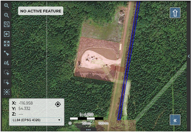
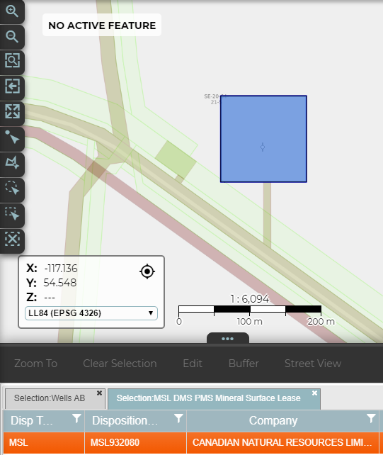
Similar to CIGS, Challenger PlanworX will enable users to draw shapes and measure distances, explore surrounding topography with geo-tagged imaging, view linked survey plans and facility information, import shapefiles and data sets, search features and coordinates, and print maps. All of these features support our clients in managing their data. Using a system like PlanworX, clients leverage data for various types of analysis / reporting, to plan new facilities, to establish buffer zones / environmental management plans and to better understand their project areas.
Seamless integration of spatial and non-spatial data and a carefully managed document control process provides a single view of all the data that matters to you.
Some applications for this type of system include:
- Asset Management
- Change Detection / Monitoring
- Search Parcels / Land Ownership
- Mapping Areas of Environmental / Historical Significance
Challenger PlanworX can also be customized with new layers and geospatial data depending on the specific needs of our clients.
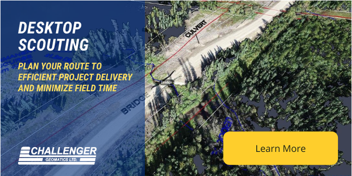
For example, our PlanworX GIS is also among the tools that we use to support Desktop Scouting of right-of-ways and site planning for wells and pipelines, which is a process that allows project teams to make early planning decisions based on the best possible spatial data while minimizing time spent in the field. Find out more about Challenger’s Desktop Scouting services at the following link:
To learn more about Challenger PlanworX and how it can address your GIS needs, contact your Project Manager or reach out to our sales team.

Gallery

Share This: